Axe C
Les animatrices de l’axe
Présentation
Mobilisant des approches interdisciplinaires à l’intersection entre sciences humaines et sociales et sciences de la nature et des approches transdisciplinaires associant les acteurs des secteurs et des territoires, les recherches de l’axe C sont organisées autour de trois questionnements interreliés :
- Quelle prise en compte de la biodiversité et des services écosystémiques marins et côtiers dans les politiques publiques ?
- Quelles stratégies d’aménagement et de gestion des usages et des ressources en appui à la décision publique ?
- Quelles évolutions des liens sciences-société dans un contexte de transformation du rapport à la décision ?
Une transversalité entre ces questionnements sera guidée et assurée par 5 champs thématiques (dont certains sont nouvellement associés à l’axe C) :
- évaluation de la biodiversité et des services écosystémiques/ comptabilité écologique;
- approches intégrées pour l’analyse des dynamiques des socio-écosystèmes ;
- approches et méthodes pour l’évaluation de stratégies de gestion et scénarios prospectifs, aide à la décision et aide aux choix collectifs d’aménagement et de développement;
- gouvernance et innovations sociales (organisations et institutions) ;
- analyse des transformations sociales et liens science-société (science-décision, partenariats, sciences participatives …). Les travaux développés apporteront notamment un appui à la mise en œuvre des politiques de gestion de l’environnement marin et littoral au niveau local, national et international.
Les travaux de l’axe s’appuieront sur :
- une stratégie de renforcement des collaborations avec les autres sciences sociales (en lien avec les MSH et l’INSHS),
- la structuration et la contribution à des Groupements de Recherche, Groupements d’Intérêt Scientifique et réflexions (à l’interface climat-biodiversité-océan, Science-gestionnaires),
- une implication forte dans l’animation et la formation à l’interdisciplinarité et la transdisciplinarité des chercheurs et étudiants de la communauté de l’EUR ISblue,
- le développement d’interfaces/plateformes science/acteurs du milieu marin et des territoires maritimes (incluant notamment les acteurs sociétaux, privés, publics, et les gestionnaires).
Méthodes/approches
- Évaluation des services écosystémiques / Comptabilité environnementale
- Modélisation des socio-écosystèmes
- Modélisation d’accompagnement, scénarios et prospectives
- Approche écosystémique des pêches, Bio-économie des pêches
- Approche de Viabilité
- Approches partenariales et Aide à la décision
“Objets” de recherche
- Énergies marines renouvelables
- Aires Marines Protégées
- Risques côtiers
- Patrimoine maritime
- Planification spatiale
- Changement climatique
- Biodiversité
- Territoires
- Petites pêches côtières
SEMINAIRE DE L’AXE C
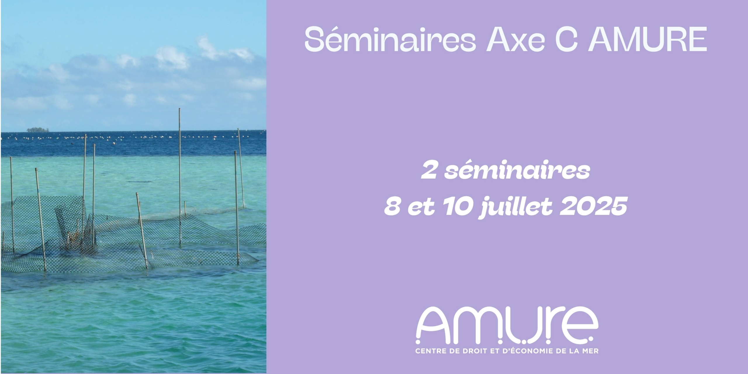
Mardi 8 juillet – 10h – Amphi D à l’IUEM et via zoom
“Models and methods to support sustainable fisheries management and resilient supply chains”
Par Éva Plagányi, CSIRO Environment, Brisbane, Australia**
Abstract : Sustaining marine fisheries in the face of changing climate, increasing human population size and supply chain challenges increasingly calls for complex decision support methods to underpin biological, economic and social sustainability of stocks and dependent users. In this talk, I present examples of fisheries modelling and management, including climate proofing fisheries, analysing trade barriers and how ecosystem models called MICE (Model of Intermediate Complexity for Ecosystem assessments) are being used to support complex management decisions. First, I share progress in revising the largest Torres Strait fishery: tropical rock lobsters Panulirus ornatus. Next, I describe supply chain challenges and our research approaches for addressing these. My second example focuses on Australia’s Northern Prawn Fishery (NPF) which has a long history of sustainable management and MSC accreditation, ensuring the sustainability of the entire multi-species complex as well as being the first fishery to implement a dynamic economic optimisation management approach. Despite world-leading assessment methods, a number of growing challenges and risks (including climate change, habitat alteration, water resource development (WRD), seismic impacts) have meant that it is no longer adequate to consider fishing pressure in isolation of other current and emerging pressures. I’ll briefly provide examples of the use of MICE to confront this complexity, quantify risks and inform future management of the fishery.
**Bio : Dr Éva Plagányi is a Research Group Leader and Senior Principal Research Scientist with CSIRO Environment, Brisbane. Her research is strongly interdisciplinary and focuses on applications for management of biological modelling of marine resources and ecosystems. She has led research on Torres Strait tropical rock lobster and bêche de mer for 17 years, and she leads the development of MICE (Models of Intermediate Complexity for Ecosystem assessments) including applications involving outbreaking crown-of-thorns starfish impacting Australia’s Great Barrier Reef as well as climate change impacts on Torres Strait and the Northern Prawn Fishery. She has a dual biological-mathematical background, has published some 140 journal papers, is an Associate Editor-in-Chief Ecological Applications and has collaborated broadly internationally.
———————————————
Jeudi 10 Juillet – 11h-12h Amphi D à l’IUEM et via zoom
“Biogeography and spatial ecology in fisheries research. The spatial dimension of fisheries”
Par Jose Maria BELLIDO*, chercheur à l’Instituto Español de Oceanografía (IEO), Murcia, Espagne.
It is now well-known that spatial patterns, local movements, migration patterns, and generally, geographical scenarios are thought to play an important role in the dynamics of fisheries resources. Life always occurs in a defined space and time and fishing exploits marine living resources. Fisheries management needs to consider the spatial dynamics where the natural stocks and fleet interact. Hence, a Marine Spatial Planning approach can provide further insights in fishery management, considering the spatial scenario where natural populations and fishing take place.
However, to get reasonable estimations and predictions of abundance, including a description of variability, models must describe the relevant species interactions, effects of environmental conditions, or fishing effort by gear on the spatial and temporal scales. There are obvious relationships between fishing effort, habitat properties, catchability and fishing mortality, and all these features have to be considered in order to enhance fisheries management in the framework of a MSP approach.
MSP scientific advice is mainly based on the application of mapping tools together with a set of different statistical models and other computational techniques, all on a spatio-temporal basis. Here I will show you some examples of how particular spatial models can be used for advice on MSP.
*Jose Maria Bellido is a researcher associated of the Instituto Español de Oceanografía (IEO) in the Oceanographic Center in Murcia. He has been involved in various research activities related to marine ecology, fisheries management, and spatial modeling. He has contributed to studies on species distribution, fisheries assessment, and the impact of human activities on marine ecosystems.
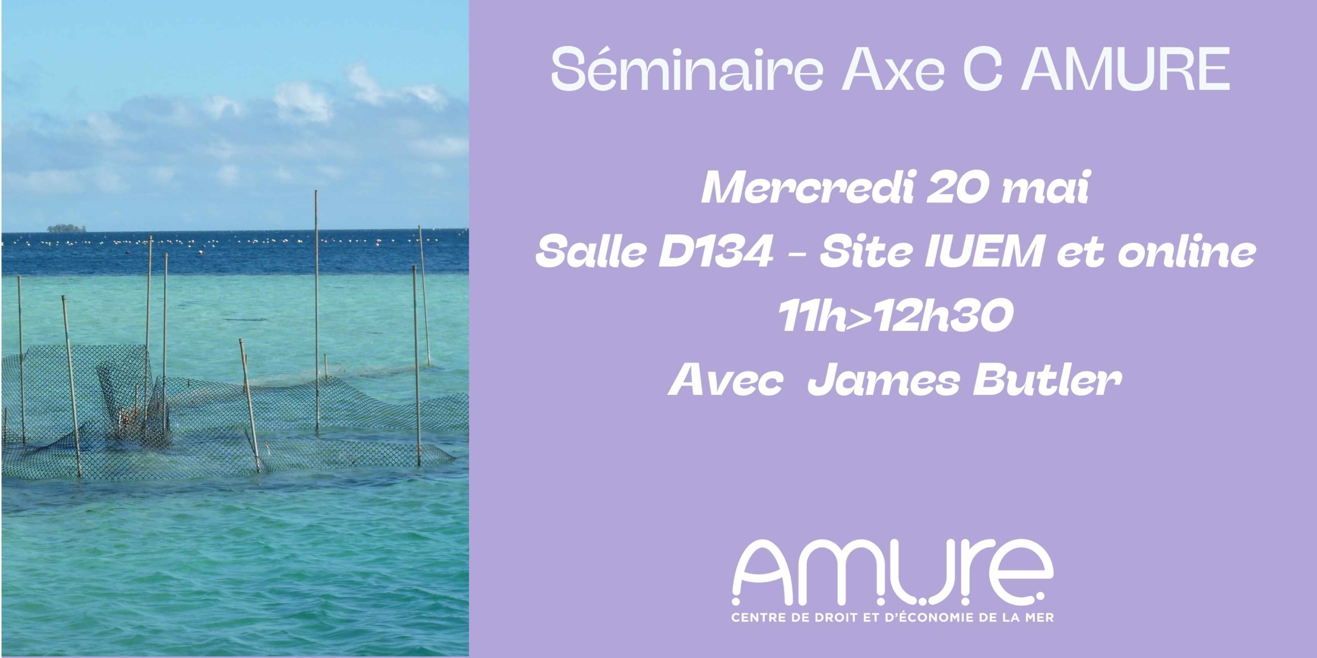
Adaptation pathways planning for the New Zealand Seafood and Aquaculture sector: Lessons learned
By James Butler, Transdisciplinary Science Group Manager, Cawthron Institute, New Zeland
Abstract : The New Zealand seafood sector presents the nationwith an exciting alternative to traditional land-based agriculture and forestryactivities. However, the marine environment is changing rapidly, and with it theeconomic and policy context on which New Zealand’s export industries depend.Consequently, the seafood sector must take a proactive stance, and aim to bothunderstand future risks and opportunities presented by climate and global change.In this presentation I will describe an adaptation pathways approach developedand tested with four seafood case studies: salmon and mussel aquaculture, theinshore snapper fishery, and the deep water hoki fishery. Adaptation pathwaysare broadly defined as ‘the proactive formulation of a series of decisionpoints to implement a suite of strategies designed to address emerging climaterisks and opportunities, while maintaining flexibility to respond to unexpectedfuture change’. In 2023 we convened adaptation pathways planning with keydecision makers from enterprises, government, regulators, research and civil societyto identify adaptation strategies. Pathways were formulated for suites of lowrisk ‘no regrets’ strategies and higher risk, transformational strategies. Keydecision points where pathway options would close or open were also identified.Action plans were developed for the investment and implementation of thepathways, and are now being implemented. I will reflect on the planning approach,lessons learned for future processes, and progress with implementation. I hopethat our New Zealand experience will benefit from comparison with similarprocesses in France and Europe.
Bio : James Butler is a Cawthron’s Transdisciplinary Science Group Manager, with a multi-disciplinary background in agricultural economics, development studies and terrestrial, freshwater and marine ecology gained in Africa, Scotland, Australia and the Indo-Pacific region. His research solves complex natural resource management problems, focussing on achieving climate resilient development with coastal and island communities. He applies participatory systems research to develop tools and processes with decision-makers that enable them to better understand future change, and to adapt and innovate accordingly. At Cawthron, James’ projects involve transforming coastal food systems, adaptation in commercial and recreational fisheries and aquaculture, and blue carbon conservation and restoration.
